Browse Items (258 total)
Sort by:
HannahH
The Hejaz Rail ran from Damascus to Medina with a branch through the port city of Haifa. Palestine Railways linked El Kantara, Egypt to Haifa by way of Jerusalem. These railways once served to connect the region but were discontinued in 1948.
HannahH
The majority of ink on this map serves to detail bodies of water. This is stark because of the Palestine's reputation for drought and water shortages. The bodies of water flow from the Jordan River, the Kineret, and the sea and branch out through the…
HannahH
There are minimal border lines on this map which poses a stark contrast to the present day Middle East.
The maps borders reflect ottoman divisions of the territory immediately before the activation of the British Mandate. The darkest border…
The maps borders reflect ottoman divisions of the territory immediately before the activation of the British Mandate. The darkest border…
HannahH
The casual labels on this map reflect that political divisions of territory were less clear during this time period. The map was drawn at a time after the Ottomans lost control of the region but the British and French had not yet imposed their own…
MelissaB
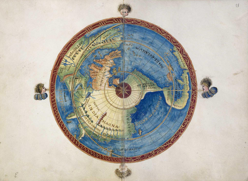
The map itself has Europe, Asia, and Africa connected and labeled. The map also has North America, South America, Artic Land, and Green Land connected and labeled. This layer traces just the outlines of the coasts of these two major connected…
Tags: coastlines, Connected Land Masses, Continents, Land
TheoS
This layer consists of the boundaries of the Arrondissements (administrative districts of Paris), the Murs d’Octroi, which marked the edges of Paris, and the towns of the surrounding area, which are named but not circumscribed. The names of towns are…
TheoS
The map takes great care to pick out Paris’ fortifications. The Murs d’Enceinte, walls built in the 1840s around Paris are highlighted in orange, and forts in the Paris region, which would not fit onto the map, are included with lines indicating…
TheoS
Important monuments such as Notre Dame and the Louvre are identified by large engraved depictions, which contrast with the two-dimensional design of the map. While these pictures seem to be scaled to fit roughly in the area on the map the building…


