Browse Items (3 total)
- Tags: development
Sort by:
LindsayW
This map by the Chicago Plan Commission depicts various housing developments in Chicago built between 1935 and 1946. It includes public and private development with over 50 dwelling units. The map notes housing type and square footage area…
Tags: development, housing, lake, urban, urban growth
LindsayW
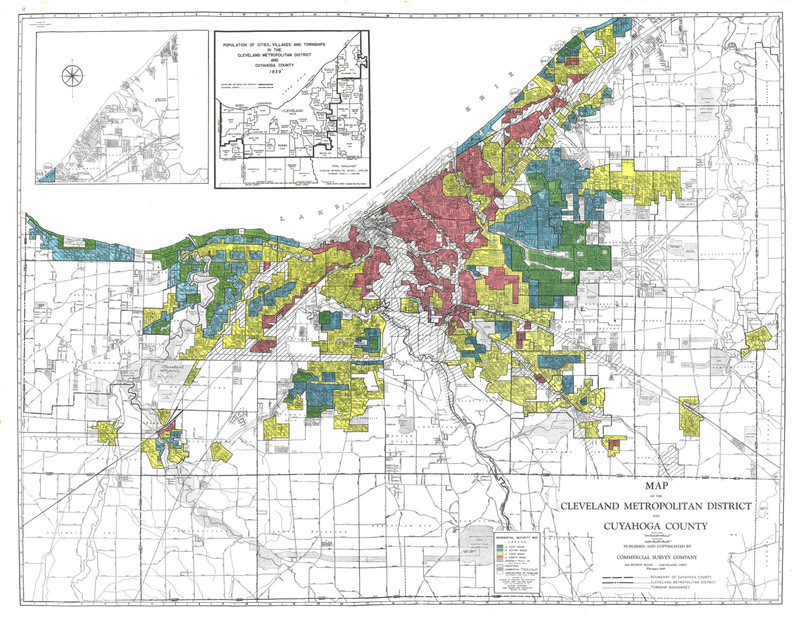
Home loan Residential Security Maps were developed in the early 1930s by a New Deal (federally-sponsored) corporation established for the purpose of home refinance. The Home Owners' Loan Corporation created by the Roosevelt administration was…
LindsayW
From the Smith Report of 1945, the map shows early plans for the location of Interstate 70 in Maryland, encircling Baltimore. It was the first study to propose an express route. The map was later included in the General Location of National System of…


