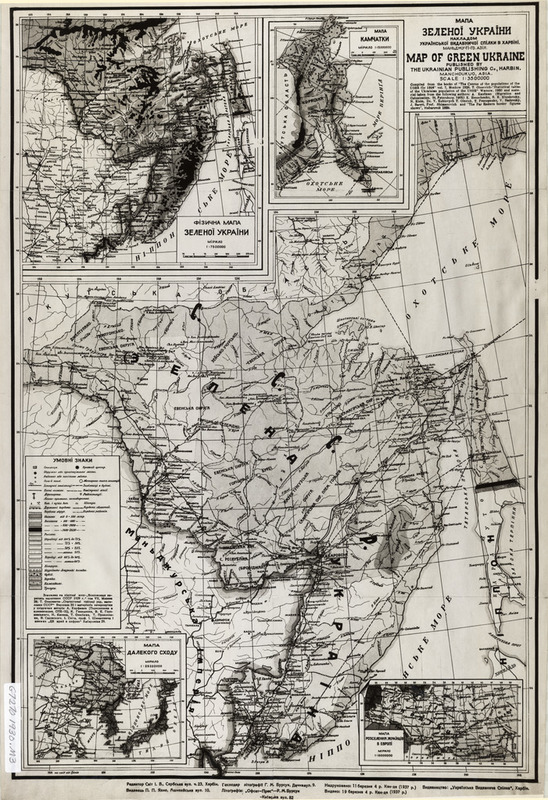
Mapa Zelenoi Ukrainy = Map of Green Ukraine
EmmaClaireF
Item Relations
| Item: Elevation | is extracted from | This Item |
| Item: National, regional, and district borders | is extracted from | This Item |
| Item: Major cities and towns; major rivers | is extracted from | This Item |
| Item: Transportation routes | is extracted from | This Item |
Citation
Svit I.V., “Mapa Zelenoi Ukrainy = Map of Green Ukraine,” HIST 1952, accessed April 20, 2024, https://hist1952.omeka.fas.harvard.edu/items/show/112.
