Browse Items (258 total)
Sort by:
GregoryP
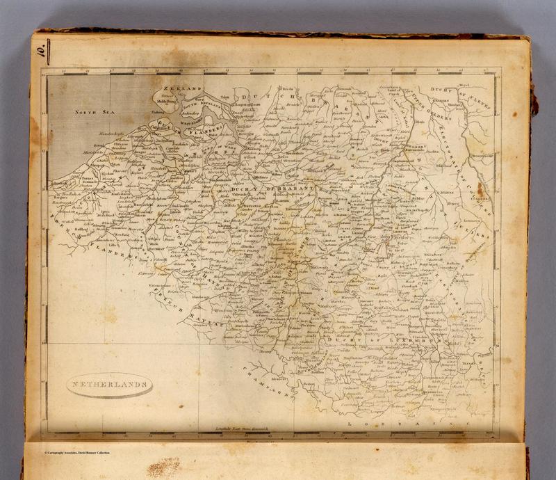
Here is an American map of the Netherlands created in 1804. Like Cary's map, this map seems to show the region of Belgium as separate from France. However, unlike Cary's map, there are no strict borders between France and Holland defined. Instead…
Tags: 1804, America, Belgium, English, Netherlands
TheoS
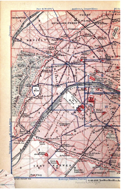
This is half of a map of Paris included in Baedeker's 1878 English-language guidebook to the Paris region. It gives us a sense of what British visitors to Paris in the late 19th and early 20th centuries would have seen -- after all, this guidebook…
YuanHengM
This layer presents the organization, basic elements, and decorations. This map was organized into three different parts: the main map, an inset in the upper-right corner, and a cartouche at the bottom. Basic elements in the map comprised the topic,…
MiraH
Alamán, Lucas. Diccionario universal de historia y de geografía: Apéndice. Colección de artículos relativos á la Republica Mexicana por José María Andrade [y otros]. Andrade y Escalante, 1836.
Alaska Humanities Forum. “Settlement and Population…
MelissaB
“A Mapp of the Kingdome of Siam,” 1680.http://www.artstor.org/artstor/ViewImages?id=8j1daD4vKicpKiU9eCJ2KngqVXQve1x5fQ%3D%3D&userId=gDBAdA%3D%3D&fs=true.
“A Plan of Fort St. George and the City of Madras.” London: London Magazine,…
TheoS
“Cimetiere de Picpus.” Atlas Obscura. Accessed October 19, 2016. http://www.atlasobscura.com/places/cimetiere-de-picpus-picpus-cemetery.
Deutsch, Français, 日本語, 中文, Español, Italiano, 한국어, et al. “Rue Transnonain, 15 April 1834, (1834) by Honoré…


