Browse Items (17 total)
- Tags: rivers
Sort by:
YuanHengM
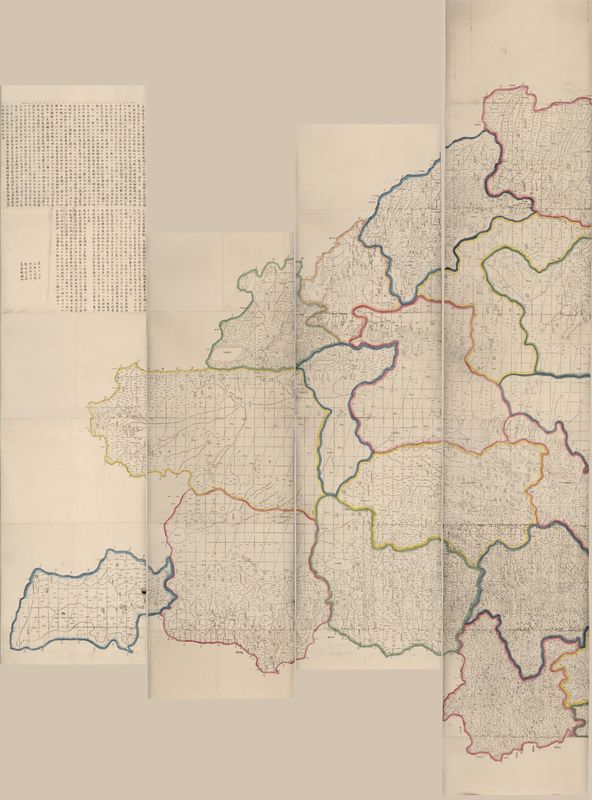
The Qing Empire under Emperor Qianlong (r. 1735-1795) was an age of expansion. After conquering the New Domination at the west, the Emperor sent missionaries there to do surveys. In 1761, basing on new surveys and the previous national map made under…
Tags: Hydronym, lakes, mountains, Place Names, rivers
JosiahC
This map provides a loose sketch of the Little Missouri River Basin, with a focus on the tributary streams that flow into the Little Missouri, and the ranches in the area. Ambiguity about the map's authorship, date of creation, and scale--not to…
AbigailP
This layer shows the rivers shown in North America and Asia, as well as lakes (shaded in) to which inland rivers connect. Rivers (and their labels, which I have not included in this layer) make up the majority of information shown in continental…
ClaireC
This layer traces all of the rivers included on the map. I have tried to recreate the variations in line thickness used on the map to indicate relative size of the rivers. Not included in the layer are the names given to the rivers or the explicit…
Tags: current direction, navigable, retraceable, rivers, watershed
AbigailP
This map, published in Wallace's book describing his travels in the Malay Archipelago, shows the routes he took around the region while he was visiting the islands and collecting specimens there between 1854 and 1862. His occupation during these…
ClaireC
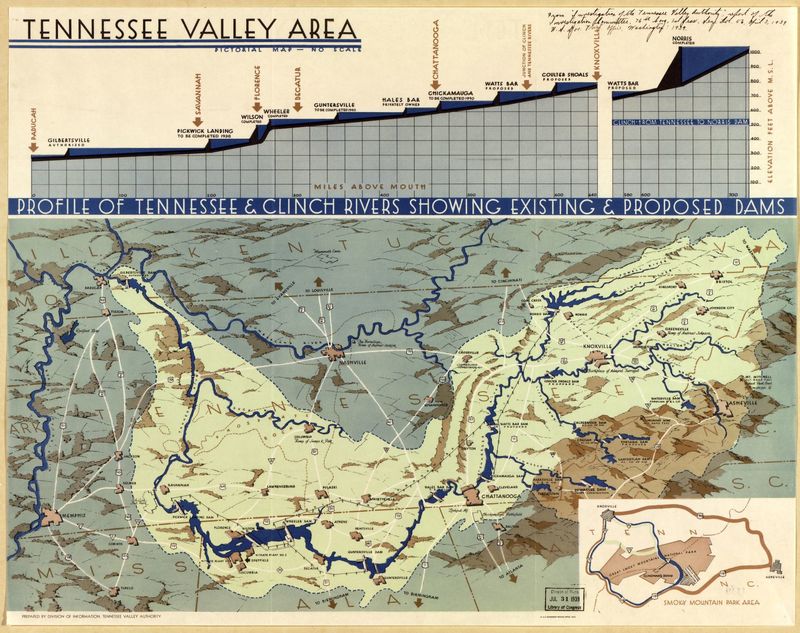
This pictorial map, produced by the Tennessee Valley Authority, shows the Tennessee River Valley region with particular emphasis on the proposed work and improvements of the TVA. As the map notes, there is "no scale," nor does it include a compass…
IsabellaC
Polar projection of the world


