Browse Items (17 total)
- Tags: rivers
Sort by:
JosiahC
This undated map, courtesy of Theodore Roosevelt National Park, shows ranches along the Little Missouri River during the 1880s. The map contains the following description on the bottom: "Map of part of the Little Missouri River Valley, in Billings…
LucieR
This layer contains the contours of the land that is pictured on the map. Naturally, those contours delineate the water spaces on the map as well. This layer is important because I think it is the base layer for the rest of the features of the map.…
Tags: Colonization, lakes, Land, rivers, sea, the New World
IsabellaC
In his map, Vespucci does not distinguish between countries or within land masses by lines. Instead, the lines on the map show the enge of land and how it borders with water, primarily oceans and seas. I have also included rivers in this layer…
ClaireC
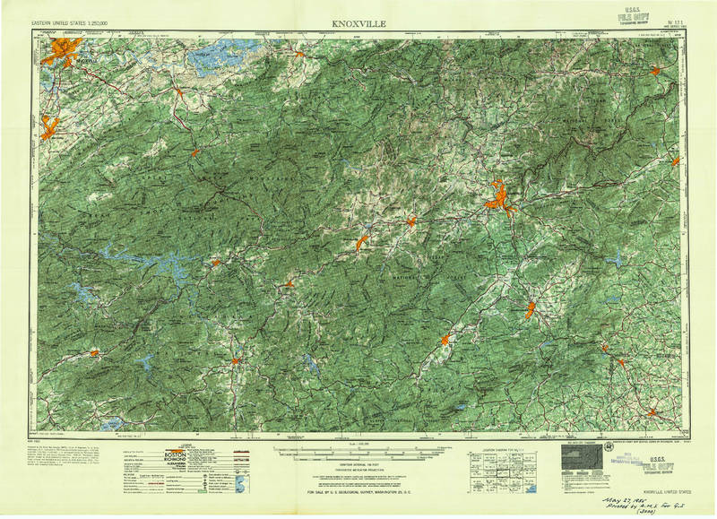
This large-scale topographic map covers the region between Knoxville, TN and Asheville, NC. As an official U.S.G.S., the map makes claims to objectively representing the landscape through topography. The consistency of representation across such a…
IsabellaC
This map shows how the cholera epidemic spread across the world from 1817-1831. The only cities labeled on the map are places at which cholera was recorded during the epidemic, clearly showing the impressive geographical range the epidemic reached.…
Tags: cholera, dates, disease, IC, Place Names, rivers, transmission, world map
Tags: 18th century, Alaska, colored outlines and shading, continent outlines, european exploration, French, geopolitical divisions, human presence on land, illustrations, Kamchatka, labels of tribal lands, lakes, native americans, Navigation, North America, notes on time and captains of voyages, Pacific, ports, positional knowledge (level of accuracy?), rivers, ship routes, theoretical geography, transportation network, treatment of the unknown, waterways, well-defined geographic information


