Browse Items (82 total)
- Item Type: Historical Map
Sort by:
LindsayW
This map by the Chicago Plan Commission depicts various housing developments in Chicago built between 1935 and 1946. It includes public and private development with over 50 dwelling units. The map notes housing type and square footage area…
Tags: development, housing, lake, urban, urban growth
YuanHengM
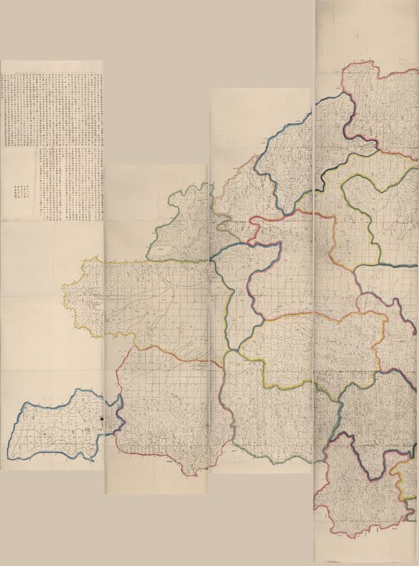
The Qing Empire under Emperor Qianlong (r. 1735-1795) was an age of expansion. After conquering the New Domination at the west, the Emperor sent missionaries there to do surveys. In 1761, basing on new surveys and the previous national map made under…
Tags: Hydronym, lakes, mountains, Place Names, rivers
JoseR
First meteorological map, charting the directions of trade winds and monsoons. Information was collected from navigators familiar with ocean transits, and also from his own tropical experience on St. Helena (1677–1678). On the map, rows of brief…
Tags: arrows, Climate, climate data, colorless, lines, meteorology, monsoons, seas, trade winds, weather, world map
GregoryP
This is a map of Europe created in 1804 by Englishman Edward Patteson. It was created as part of an Atlas that depicted both Ancient and Modern Europe. So on this map, modern borders between nations are depicted, but Patteson accompanies many land…


