Browse Items (82 total)
- Item Type: Historical Map
Sort by:
JoseR
This weather map is published by the US Department of Agriculture. Observations were taken from 8am to 8pm where barometers reduced to Sea Level and 32degrees Fahrenheit. The heavy dotted lines inclose ares of marked changes in temperature during the…
Tags: IC
JoseR
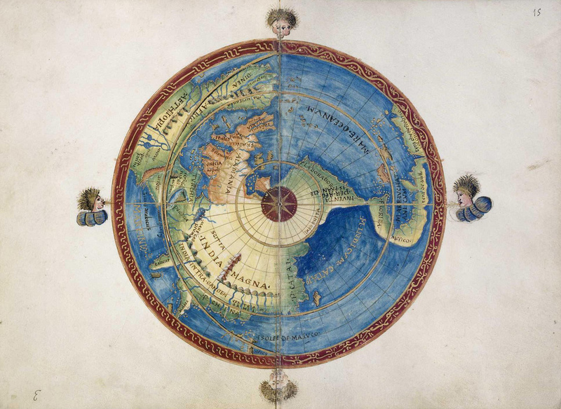
First meteorological map, charting the directions of trade winds and monsoons. Information was collected from navigators familiar with ocean transits, and also from his own tropical experience on St. Helena (1677–1678). On the map, rows of brief…
Tags: arrows, Climate, climate data, colorless, lines, meteorology, monsoons, seas, trade winds, weather, world map
GregoryP
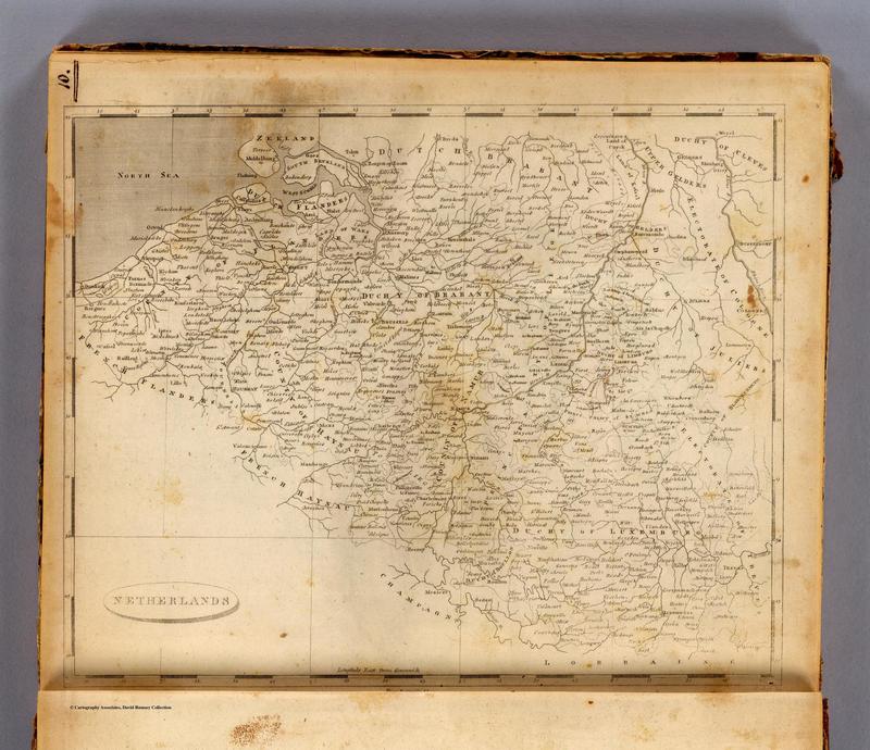
Here is an American map of the Netherlands created in 1804. Like Cary's map, this map seems to show the region of Belgium as separate from France. However, unlike Cary's map, there are no strict borders between France and Holland defined. Instead…
Tags: 1804, America, Belgium, English, Netherlands
TheoS
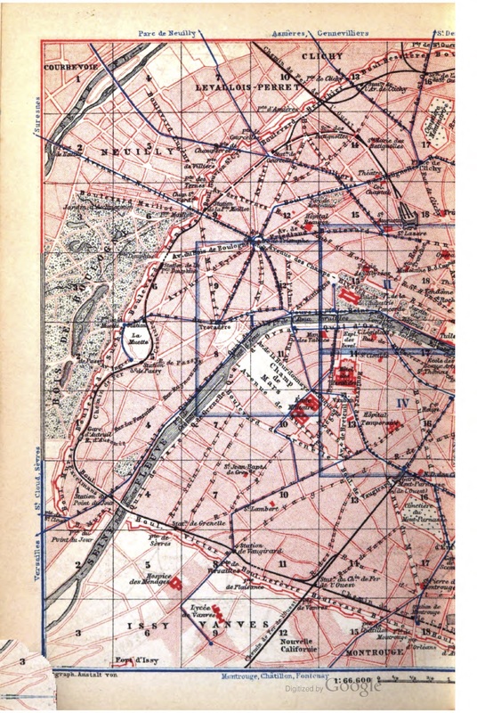
This is half of a map of Paris included in Baedeker's 1878 English-language guidebook to the Paris region. It gives us a sense of what British visitors to Paris in the late 19th and early 20th centuries would have seen -- after all, this guidebook…


