Browse Items (32 total)
- Collection: Map Tracings
Sort by:
JoseR
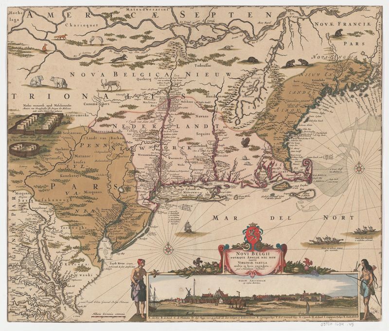
1 map : hand col. ; 47 x 55 cm. - Relief shown pictorially. "Cum privil. ordin. general. Belgii Foederati." Fourth state, according to Burden. Appears in author's Atlas minor sive geographia compendiosa. Includes decorative cartouche and inset view:…
Tags: animals, bear, Belgian lion, buildings, cartouche, colony, color, deer, depth, dutch, fauna, fortifications, forts, fur trade, green, hand colored, hatching, hills, hudson river valley, latin, line weights, manhattan, mountains, native americans, new amsterdam, new england, perspective, perspective lines, rabbits, red, resources, rivers, settlements, shading, text, trees, tribe names, turkey, waterfront, yellow
LucieR
I think a remarkable characteristic of this map is the fact that it contains certain elements that are portrayed in perspective (i.e. not 'flat', like the rest of the map). There seems to be a 'sample' of an Indian village on the far left side of the…
GregoryP
This layer has all the markers of land features such as capes, forests, and hills. This layer includes both literal markers such as "Cape Cod" but also decorative features such as animals on the map. It is unclear how literal some of the natural…
GregoryP
Here are markers, both literal (cities) and decorative (ships) of human influence on the landscape of New England. The markers note both colonist and Native American influence on the land.


