Browse Items (4 total)
Sort by:

JosiahC
Full Title: “(Text Page to) St. Paul, Minneapolis & Manitoba Ry. Red River Valley Line through the park region ... 2 +87. Matthews, Northrup & Co., Art-Printing Works, Buffalo, N.Y.”
My description: This text page advertisement from the…
My description: This text page advertisement from the…

IsabellaC
This map, produced in 1944, shows major “tropical diseases” and where they occur in the world. A stylized image of the vector or symptoms of the disease is drawn over each afflicted region. Along the bottom of the map is a key describing which image…

JoseR
1 map : hand col. ; 47 x 55 cm. - Relief shown pictorially. "Cum privil. ordin. general. Belgii Foederati." Fourth state, according to Burden. Appears in author's Atlas minor sive geographia compendiosa. Includes decorative cartouche and inset view:…
IsabellaC
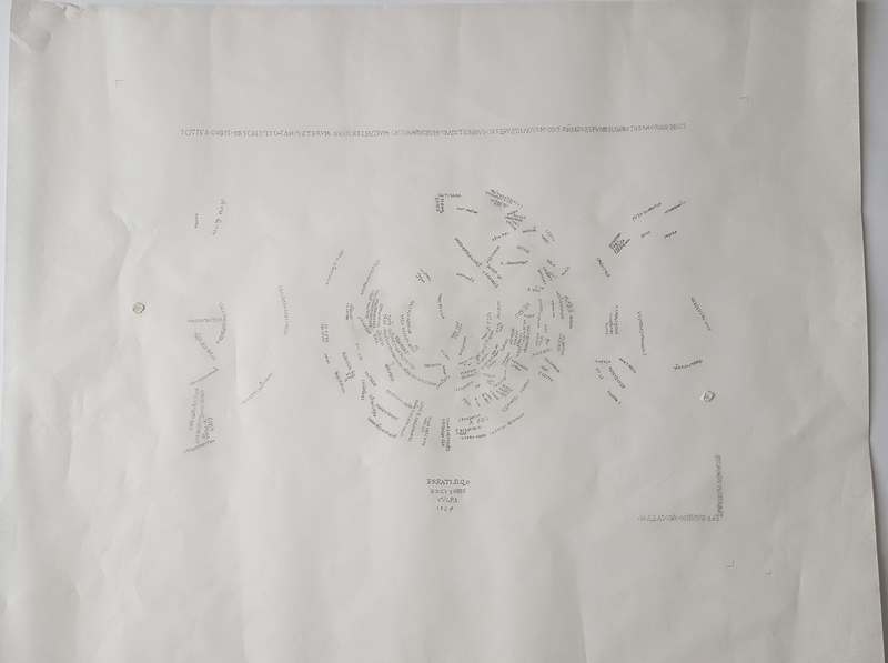
Text is an immediately striking part of the map. It forms the border of the map, and crowds in the globe, particularly filling the northern hemisphere. The text performs a variety of roles, from describing what the map shows and its maker (in the…