Browse Items (258 total)
Sort by:
TheoS
This collection of maps and graphs are primarily a visualisation of the information contained in the “Skeleton Through Routes” section of Bradshaw’s 1887 and 1888 railway guides.[1] These tables list over two hundred destinations from London, and…
YuanHengM
Different views of Hamburg were shown in the upper and lower parts of the map. In the upper part, Hamburg and its neighboring area were illustrated as city grids. The fortifications and drainages were depicted in details. With the help of an index,…
IsabellaC
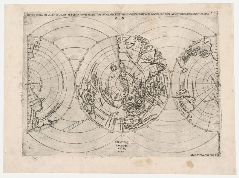
Polar projection of the world
MelissaB
This is one of the 7 smaller sections of the "Cyclers' Guide and Road Book of California" book published in 1895/1896. Bike paths shown in red and labeled with abbreviations. The first abbreviation of the two tells the road condition. Conditions are:…
Tags: bike map
EmmaClaireF
Railways and flight routes are marked with pencil; railways are marked with hatched lines and flight paths are marked with dotted lines.
Tags: green, mountain range, terrain, Topography, waterways
Tags: IC
Tags: IC
Tags: IC


