Browse Items (82 total)
- Item Type: Historical Map
Sort by:
ClaireC
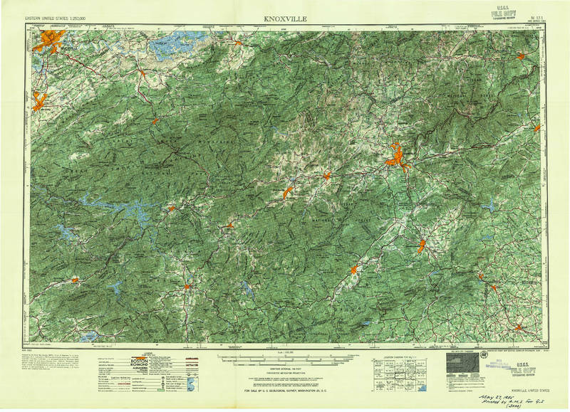
This large-scale topographic map covers the region between Knoxville, TN and Asheville, NC. As an official U.S.G.S., the map makes claims to objectively representing the landscape through topography. The consistency of representation across such a…
JoseR
The principal phases of a storm at once. Provided here are the names and city/state locations of all of the “meteorological correspondents” who provided the data exhibited in Espy's charts. Shown here is the position and extent of a storm at a…
JoseR
This is the first U.S. weather map. In his accompanying report, Espy states that the committee received back 50 responses from the 250 circulars it sent out to different parts of the United States and Canada regarding this notable storm. The map…
JoseR
First world isothermal chart. Woodbridge notes that the figures on the chart indicate mean annual temperature of the places depicted. The dotted lines crossing the chart point out the places which have equal degrees of heat. Theres form the…
JoseR
First meteorological map, charting the directions of trade winds and monsoons. Information was collected from navigators familiar with ocean transits, and also from his own tropical experience on St. Helena (1677–1678). On the map, rows of brief…
Tags: arrows, Climate, climate data, colorless, lines, meteorology, monsoons, seas, trade winds, weather, world map
GregoryP
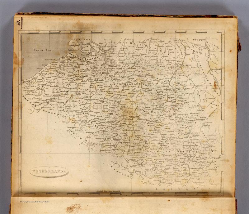
Here is an American map of the Netherlands created in 1804. Like Cary's map, this map seems to show the region of Belgium as separate from France. However, unlike Cary's map, there are no strict borders between France and Holland defined. Instead…
Tags: 1804, America, Belgium, English, Netherlands
JosiahC
Summary (from Library of Congress): Shows relief by hachures, drainage, cities and towns, township and county boundaries, Indians, and the railroads with lines named.
My description: This 1886 Rand McNally map, created by the railroad commission,…
My description: This 1886 Rand McNally map, created by the railroad commission,…
JosiahC
This map provides a loose sketch of the Little Missouri River Basin, with a focus on the tributary streams that flow into the Little Missouri, and the ranches in the area. Ambiguity about the map's authorship, date of creation, and scale--not to…
JosiahC
This undated map, courtesy of Theodore Roosevelt National Park, shows ranches along the Little Missouri River during the 1880s. The map contains the following description on the bottom: "Map of part of the Little Missouri River Valley, in Billings…


