Browse Items (82 total)
- Item Type: Historical Map
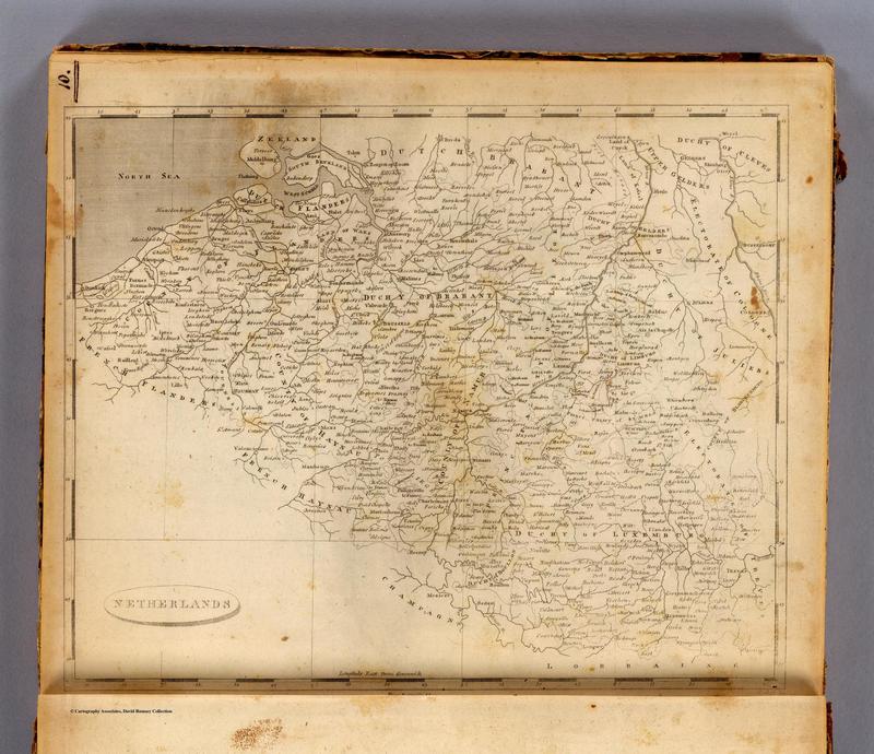
Tags: 1804, America, Belgium, English, Netherlands
Tags: Africa, Boers, British Influence, Colonialism, diamonds, disease, gold, IC, Portuguese influence, South Africa, Transvaal, tsetse fly
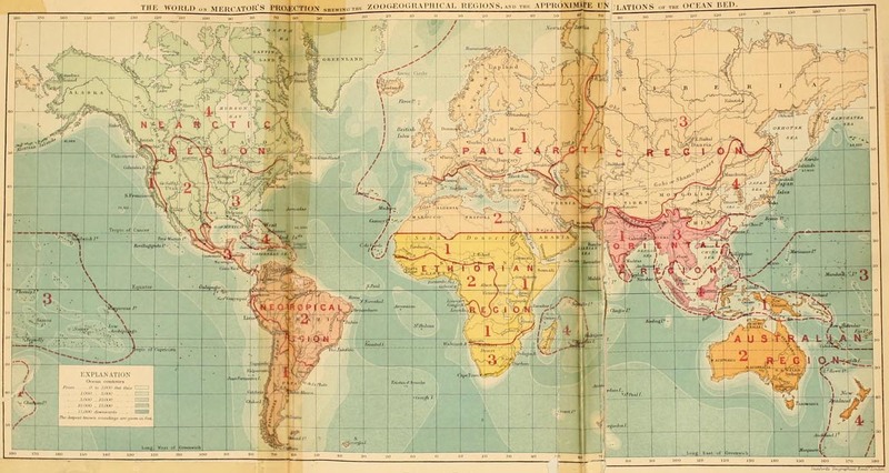
Tags: and city names, Australian region, biogeographical division line, continent outlines, contours of sea depth, dashed lines, desert labels, Ethiopan region, mountain range labels, Nearctic region, Neotropical region, numbers and outlines of subdivisions within biogeographical regions, Oriental region, Palaearctic region, region, selected country, shading of biogeographic regions, solid lines
Tags: artzybasheff, cholera, dengue, disease, fly, helminthic disease, IC, images, Japanese river fever, leishmaniasis, leprosy, magazine, malaria, mosquito, pests, plague, rat, relapsing fever, Rocky Mountain fever, sleeping sickness, text, tick, tularemia, typhus, world map, worm, yaws, yellow fever


