Browse Items (12 total)
- Tags: mountains
Sort by:
ClaireC
This map produced by the North Carolina State Advertising Division illustrates the recreational opportunities of Western North Carolina. The Great Smoky Mountains and Blue Ridge Mountains form the geographic boundaries of the region; there are no…
IsabellaC
Polar projection of the world
AbigailP
This map, published in Wallace's book describing his travels in the Malay Archipelago, shows the routes he took around the region while he was visiting the islands and collecting specimens there between 1854 and 1862. His occupation during these…
YuanHengM
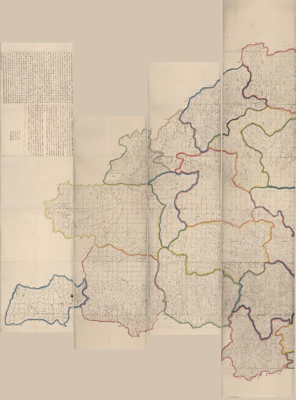
The Qing Empire under Emperor Qianlong (r. 1735-1795) was an age of expansion. After conquering the New Domination at the west, the Emperor sent missionaries there to do surveys. In 1761, basing on new surveys and the previous national map made under…
Tags: Hydronym, lakes, mountains, Place Names, rivers
JoseR
1 map : hand col. ; 47 x 55 cm. - Relief shown pictorially. "Cum privil. ordin. general. Belgii Foederati." Fourth state, according to Burden. Appears in author's Atlas minor sive geographia compendiosa. Includes decorative cartouche and inset view:…
Tags: animals, bear, Belgian lion, buildings, cartouche, colony, color, deer, depth, dutch, fauna, fortifications, forts, fur trade, green, hand colored, hatching, hills, hudson river valley, latin, line weights, manhattan, mountains, native americans, new amsterdam, new england, perspective, perspective lines, rabbits, red, resources, rivers, settlements, shading, text, trees, tribe names, turkey, waterfront, yellow
AbigailP
This map was published in 1863 in a paper by Wallace on the physical geography of the Malay Archipelago. It is the first map marking Wallace's line, here labelled as dividing the "Indo-Malay Region" from the "Austro-Malay Region". This line proposed…
YuanHengM
This map is an engraved map of the Chinese Qing Dynasty’s New Domination Province. Published around the 1860s, this map still follows the techniques of traditional Chinese Cartography. The grids on the maps help cartographer represent the landscapes…
Tags: forts, Hydronym, lakes, mountains, Place Names, towns, water bodies
MiraH
This 1934 pictorial map was created by the Kellogg Company. The titular "Gifts of Nature" refers to agricultural plenty, but the map also depicts historical sites, industry, and Native American tribes. Also shown are railroad lines, migration routes,…
YuanHengM
This map, named The Map of the Borderlines of China and Russia, is a selected translation from one 1884 Russian map. Hong Jun (1839-1893), who had been the Qing Empire’s emissary, bought the original map in Russia and translated place names into…
LucieR
A tourist map of the Crimean peninsula, which (only) includes 'tourist centers', caves, mineral sources, touring car centers, gas stations and garages in the legend. In the lower half of this map, 23 sightseeing points are listed. This list includes…


